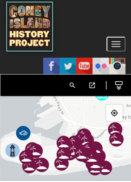
The Coney Island History Project's new interactive digital map of Coney Island and adjacent neighborhoods features links to our immigrant-themed oral history interviews, podcasts, films and photos, as well as to selected content on the web. The map is a work in progress focused on the cultural heritage of Southern Brooklyn's diverse immigrant community and stories of struggle, success and achievement. Coney Island, Coney Island Creek, Gravesend, Bensonhurst and Brighton Beach are among the location markers.
Originally planned to debut in conjunction with the Fall 2021 release of data from the 2020 Census, we are offering a preview of the map this June. Additional media and census data will be added on a regular basis in the coming months. This program is part of the Cultural Immigrant Initiative supported, in part, by the New York City Department of Cultural Affairs in partnership with the City Council, and New York City Councilman Mark Treyger.

Add new comment